
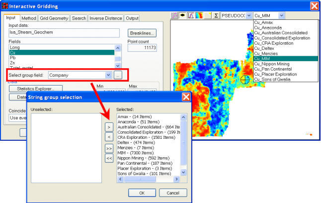
Encom Discover PA 2013 Windows

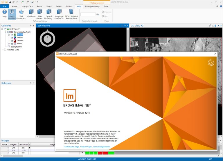
Erdas IMAGINE 2022 v16.7.0.1216 Win64
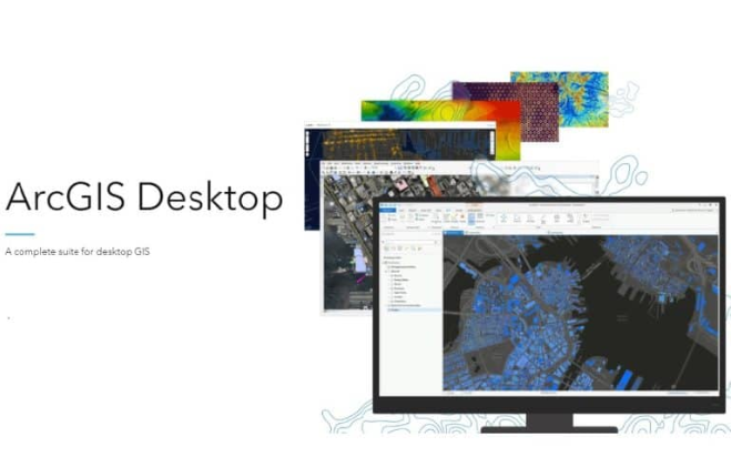
Esri ArcGIS Desktop 10.8 Lifetime Activation for Windows
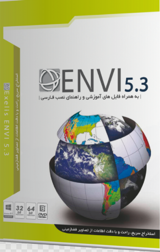
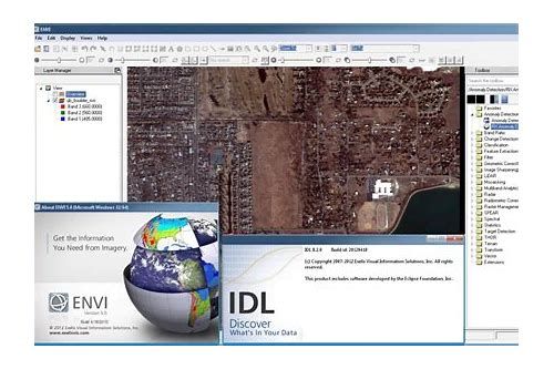
Exelis ENVI v5.6 Win64
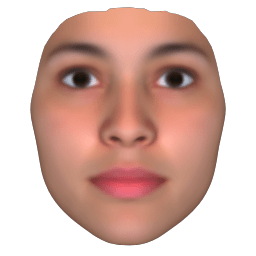
Facegen Artist Pro 3.2 Windows

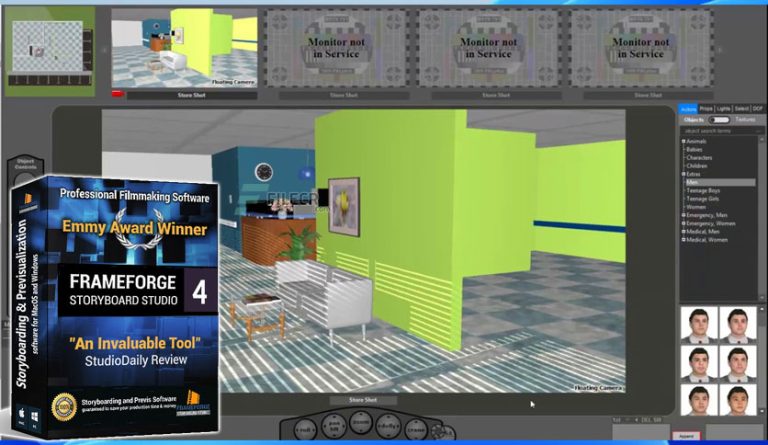
FrameForge Storyboard Studio 4.0 Win64

Gemvision MatrixGold V3.1.22284.1001 For Rhino Win64

Golden Software Didger v5.10.1379 Windows

HYPACK 2022 v1.22 Win64

IDRISI 17.02 The Selva Edition Windows
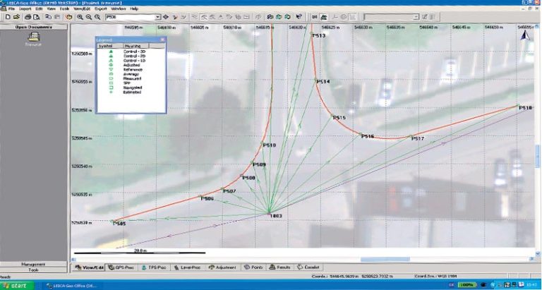
Leica GEO Office 8.4.0.0.14023 Win64