Leica LISCAD 12.0 Win64
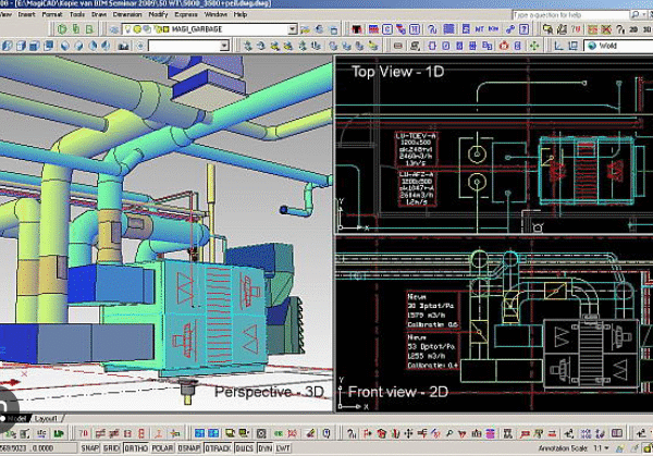
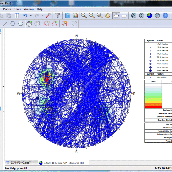
LISCAD is a collection of software modules in the field of geology and civil engineering. The modularity of this software is to make it cost-effective, in such a way that customers buy only the modules they need and will not need to buy parts of the program that they do not have much to do with it. This program can perform geographic calculations with high accuracy; There is no limit to the size of its models; The least squares method can be used for estimations; Conversion between two and three-dimensional modes can be done easily; You can get the volume of objects; You have the possibility to work on georeferenced images; You can make a 3D view of the desired model.
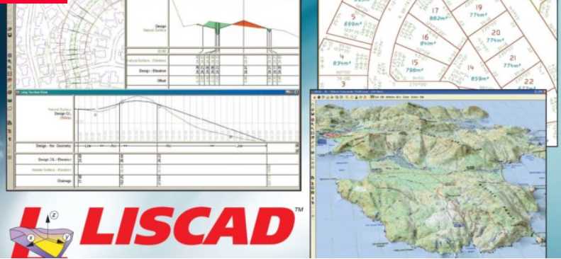
Using this program, it is possible to design and visualize any model and engineering idea. With the help of the tools of this program, you can perform mapping operations live and in real-time with the help of Total Station or GNSS mapping equipment and hyperpoints with the possibility of instant display, editing, and digitizing them. LISCAD is a complete software solution in this field, and several thousand customers from 100 countries of the world prove this. This program has so far attracted the attention of many geologists, mapping and GIS engineers, and CAD systems, and most of this attention is due to the simple, attractive, and easy-to-learn graphical interface of this product.
Features and features of LISCAD:
- Simple and understandable graphical environment
- Fast learning program
- Accurate geographic calculations
- Ability to define models of unlimited size
- Using the least squares method
- Ability to convert from 2D to 3D
- Calculate the volume of components
- 3D visualization
- Ability to connect to mapping devices and display and edit the map live
- And …







Reviews
There are no reviews yet.