


PCI Geomatica Banff 2020 SP2 Win64
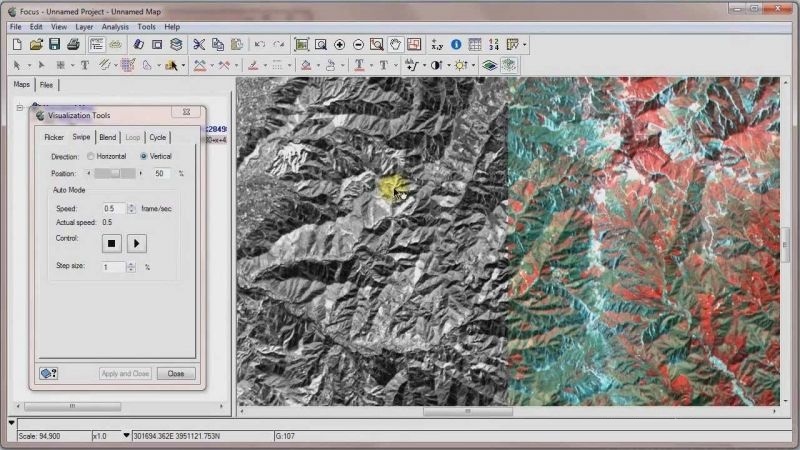
PCI Geomatica is a powerful software for remote sensing processing and analyzing aerial and satellite images of the Earth. The main goal of this software is fast data processing and advanced analysis of aerial and satellite images. PCI Geomatica has been used by many educational institutions (more than 2700 educational institutions) and scientific programs to analyze satellite images. For example, GlobeSAR was a research program of one of the Canadian research centers in 1990 for remote sensing, from the ability to use this software. PCI Geomatica is one of the best in the field of remote sensing of geography and is currently widely used in research and research centers.
Features and features of PCI Geomatica:
- Accurate and fast calculations of aerial and satellite models
- Display of elevations and features of the land with very high-quality
- Advanced support for radar data (SAR)
- Support for various sensors such as ADS, PALSAR, Deimos and TripleSat
- Support for GF-2 atmospheric correction
- And…


Reviews
There are no reviews yet.