


Geovariances ISATIS 2016.1 Win64
ISATIS software is a practical and powerful software for analysis and geostatistical solutions and a product of the well-known company Geovariances. This software is used in various industries including oil, gas, mining, and environmental industries for mapping, resource estimation, volume assessment, and risk analysis. This software provides a lot of facilities to engineers in the fields of geology and statistics and is a bridge between economy and industry.
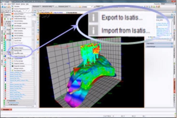
With the help of this software, you can simulate risk analyses and define a suitable and safe condition for mining. This software is also used to estimate the resources, determine the speed of extraction, and calculate the service time of oil wells and natural gas reserves. Also, this software can be used to mark the GIS aerial maps, specify the resources, and perform analyses before starting the project. The advantages of the software include geostatistical economic calculations, construction risk analysis of various industries, volume assessment of mines and wells, mapping aerial and satellite maps, and many other facilities.
Features of ISATIS Geovariances software: – Excellent performance along with simple work method – No need for special knowledge and user-friendly – Resource estimation – Volumetric assessment and risk analysis – Simulation and review of aerial maps – Specialized software for geostatistical analysis – Mapping of aerial and satellite maps – Marking the location of mines on the map – Estimation of resources in oil and gas industries – Volumetric evaluation of mines and wells – Risk analysis of the construction of various industries.


Reviews
There are no reviews yet.