Global Mapper Pro 25.0 Win64
Global Mapper is an application, cost-effective, and easy-to-use Geographic Information System ( GIS ) software that provides access to an unparalleled diversity of spatial data sets and provides an appropriate level of functionality for experienced and novice GIS users. he does. Global Mapper is more than just a tool that offers an amazingly comprehensive set of analytics and data processing tools in one cost-effective package.
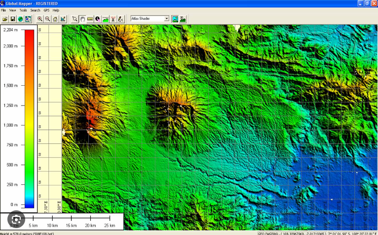
Features and specifications of Global Mapper software:
- Low-cost and easy to use for GIS solutions
- Supports over 250 spatial data formats
- Optional LiDAR modules for processing powerful cloud points
- Advanced project management using the GeoCalc library
- Supports realistic 3D viewing of extension data
- Zoom in on the map, enable 3D mode, select the background color, draw and measure sections
- Vector selection feature (areas, lines, and points), with rectangular, circle, oval, arc and
- Enable GPS function
- Output data generated in PDF, JPG, PCX, PNG, RAW, KML / KMZ, DXF, SVG and فر formats
- Track a GPS device connected to a PC or USB serial port in real time
- Direct access to high-resolution color images DigitalGlobe and OpenStreetMap.org Detailed street map for the whole world from within the application
Full support for common formats:
GeoPDF, DLG (DLG-O & SDTS), DRG, DOQ, DEM, DGN, DTED, DWG, DXF, GPX, SDTS DEM, ECW, MrSID (Imagery & Lidar), ESRI Shapefiles, E00, Vertical Mapper GRD, JPEG2000, CADRG / CIB, GeoTIFF, KML / KMZ, Lidar LAS, Arc Grid, Tiger / Line, SEGP1 / UKOOA P-190
Click here for full Global Mapper information.








Reviews
There are no reviews yet.